Capture and monitor underground network infrastructure
in as-built quality with our cutting-edge technology!
Discover our groundbreaking technology.
Unleash the future of rollout management
and network documentation.
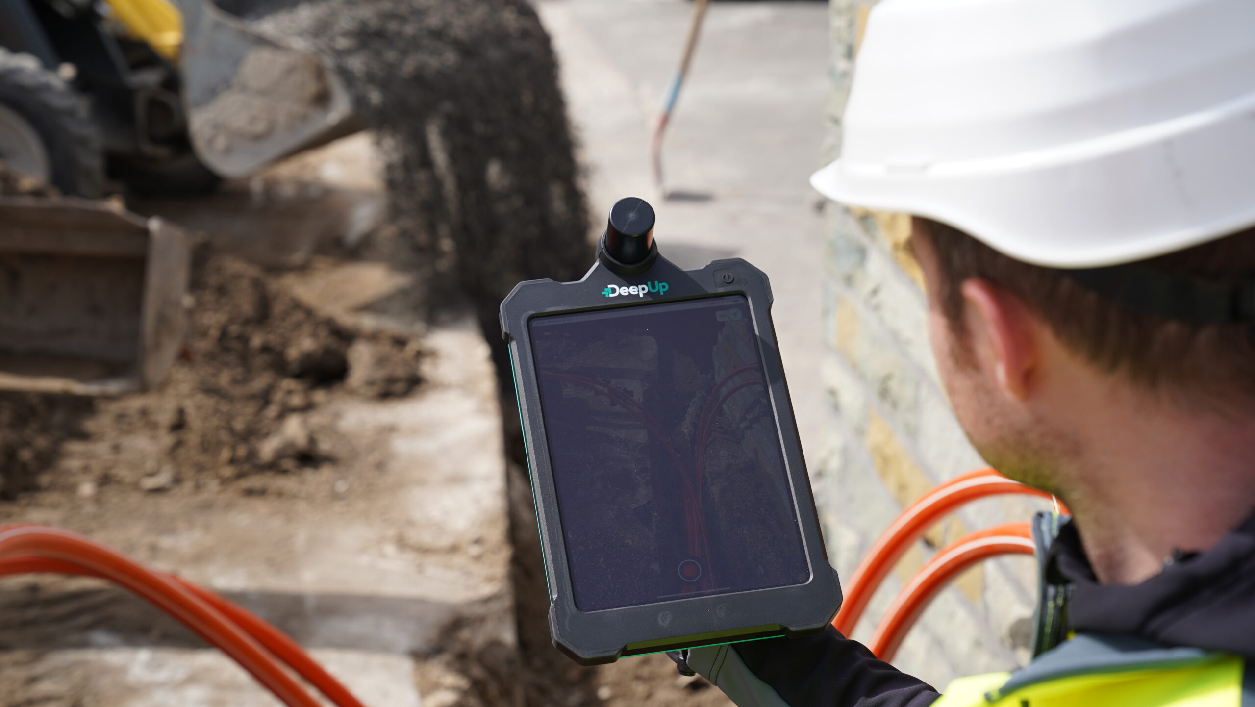
Our revolutionary handheld 3D scanner empowers civil engineering crews with an efficient tool to document network installations. Our scanner’s satellite-based integrated antennas ensure georeferenced location data. Its user-friendly and language-independent interface allows intuitive handling.
Stay connected to your project’s progress from anywhere with our web-based monitoring system. All recorded scans are effortlessly and seamlessly accessible on our platform in as-built quality, presented as 3D mesh models for in-depth qualitative assessments.
Obtain comprehensive and detailed network documentation. In compliance with standardized documentation guidelines and data formats such as GIS and CAD, we offer a comprehensive documentation package. Obtain your data automatically via API or data integration into your systems.